
Everything you need to know about Listing
With the start of Census 2011 a little over a month away, a team of 30 000 listers across the country have started. Listing is a process where a register of all dwelling units across the country is made.
During this phase of the project, a register of all dwelling units, other structures and prominent features in an area will be compiled. This will then help the fieldworkers when they visit with the census questionnaire to know which structures to visit.
The country has been divided into areas called enumeration areas (EA). It is important to know and identify the boundaries of these areas as well as the number of dwellings per enumeration area before the enumerators are sent to the area.
This helps with logistical issues such as how many questionnaires should be sent to an area. This will also make it easier for the enumerators to navigate and find their way around an area.
What is listing?
Listing is the compilation of a register of all Dwelling Units, other structures and prominent features in a given Enumeration Area (EA). More specifically, the following are listed:
- All Dwelling Units,
- All units or rooms within collective living quarters,
- All non-residential buildings and all vacant stands.
- Sports fields, parks, parking lots, cemeteries, demolished and semi-demolished structures, etc. that fall within the EA boundary are also listed.
Objectives of listing
Listing objectives are as follows:
- To have a record or list of all Dwelling Units and other structures within an EA;
- To determine the correct size of the EA (number of Dwelling Units, households and persons);
- To enable you to find your way within the EA more easily, so that you actually visit all Dwelling Units in your EA when doing enumeration;
- To establish the total number of households and persons in each listed Dwelling Unit;
- To identify all residential and non-residential structures in advance including unoccupied, vacant and new dwellings under construction; and
- To use listing information to update the dwelling frame;
- To provide Data Collection & Field Logistics and other stakeholders with a listed EA Summary Book.
How listing will be done ?
During listing fieldwork, the lister will be given an orientation map to determine where the EA is located in relation to other EAs in the area. The lister will also be given the EA Summary Book that has been developed for the specific EA. All Dwelling Units and other structures (excluding toilets) are to be listed within the EA.
The lister is expected to complete the following information in the EA Summary Book:
- Annotation on the EA maps, e.g. new structures, listing starting and end point and the listing route.
- Fieldwork staff, summary information on listing, i.e. total number of Dwelling Units, households and persons.
- Census geography hierarchy, route to the EA, EA boundary description, other useful information.
- If any information in the Census Summary Book is incorrect, the correct information should be recorded on the form and the map.
- Description of listing and clearly indicating starting and end point and listing route.
- Field sketches of new developments found within the EA and where the map background is not clear.
- Notes of any other useful information.
- Map reference numbers on the listing form.
- List of all Dwelling Units, other structures and prominent features within the EA
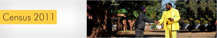
All listers will wear a black Stats SA cap, blue Stats SA bib and they will be carrying an ID card. Should you have any questions or need to confirm the identity of a fieldworker please don’t hesitate to contact us.
Toll free: 0800 110 248
Email: info@statssa.gov.za